For our final tour in Baguio, our friend brought us on top of the mountain to see a different view of Baguio City, we actually left the city and went to Tuba, Benguet to visit Mount Cabuyao, the radar area, the Baguio dam and catch basin and the Mount Sto. Tomas, the highest mountain here in Benguet.
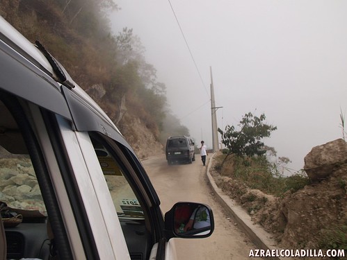
The trek to these mountains are very popular to mountain climbers and hikers, If you walk from the main road, you might reach the top for a day. We rented a taxi FX to take us there and the travel time from Baguio is around 30 minutes.
Our trip here is the best ever because we’re on top of the mountain ranges and reached the top of Mount Cabuyao safely.
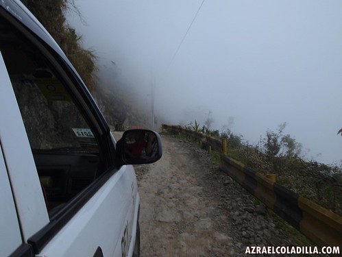
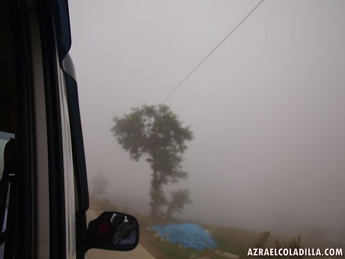
Actually the road leading to the two mountains is dangerous, because the roads are not yet complete and expect rough muddy road and zero visibility when there’s a fog.
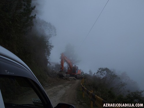
If you will drive your own car, make sure you drive it safely and avoid rushing yourself to climb the rough road of the mountain. Take note that there are heavy machineries operating and repairing the road. I heard that they are starting to develop the mountains to attract tourism and investors for commercial establishments.
If you are tired visiting the same view and places in Baguio, then I suggest that you do a side trip here in Mt. Cabuyao and Mt. Sto. Tomas.
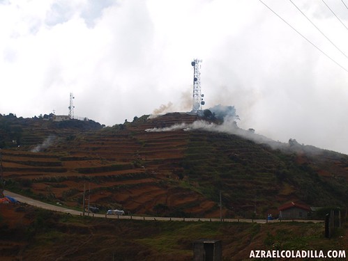
(I did some research and I learned that Mt. Sto Tomas is a stratovolcano..so that it explains the smoke coming from the hills)
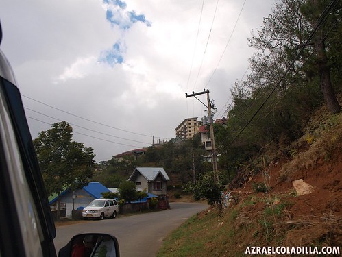
On flat land
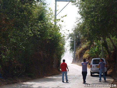
here’s the start of our journey going to the two mountains
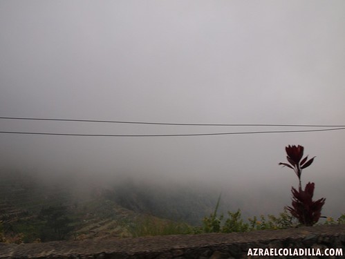
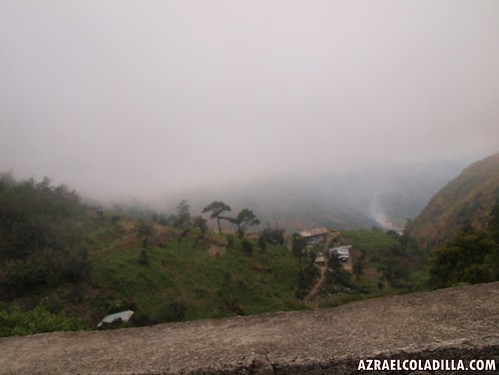
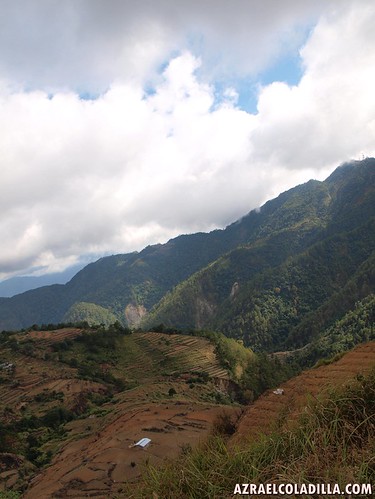
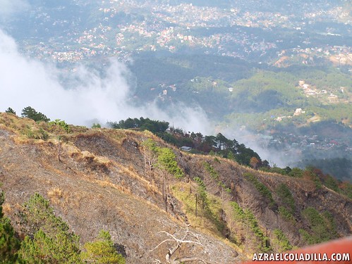
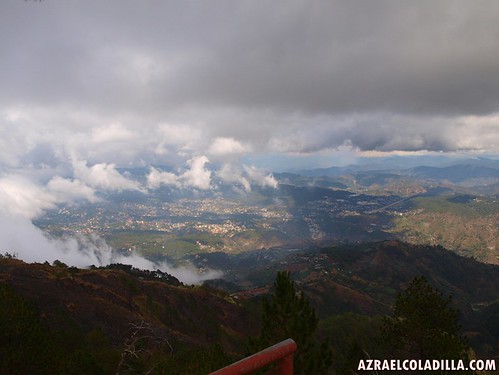
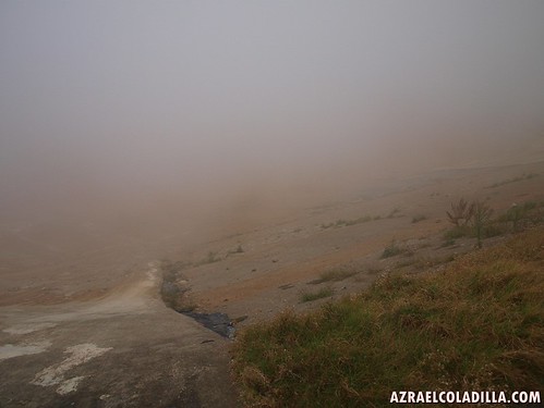
We encountered zero visibility while we start to climb the mountain road. But reaching the mid part of it will reward you an awesome view of Baguio City.
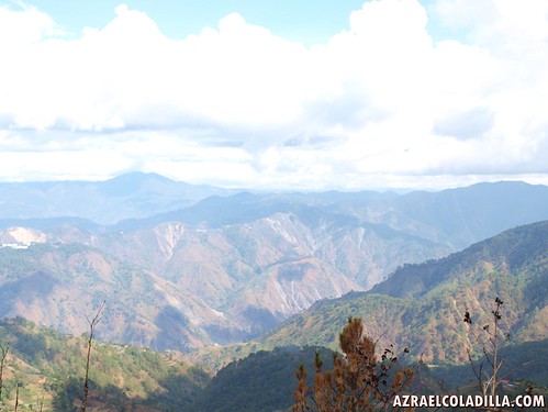
Here’s a nice view of the Cordillera mountains
its really awesome!!
the mountains are so alive here and I felt that this view pops out from an encyclopedia book
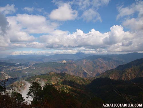
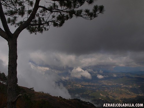
I’m not really sure why there are clouds below us hahahaha,
these clouds are rising up so fast and you can learn that you are in a high level mountain
Hello clouds….
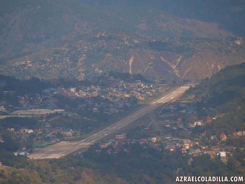
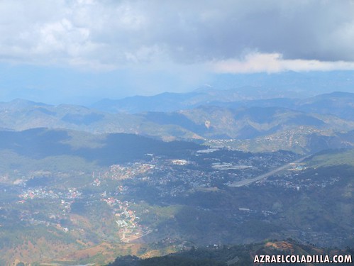
I used my telephoto lens and here I saw the runaways of Baguio airport, it’s the only airport that is available and now operating in private.
Back in the old days, around the 80’s, I remember that they offer a direct flight going here in Baguio City.
I hope they bring it back again, so that the travel to Baguio will just be around 20-30minutes.
I went to Vigan few years ago and the air travel was just 30minutes.
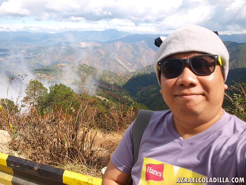
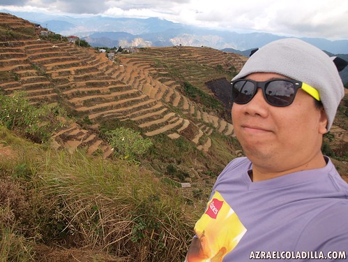
Photo op with the cordillera mountains
Vincent, Raffy and Enzo doing some photo shoot of the fog ahead of us
We continued to climb up
and more zero visibility and fog welcoming us.
During the climb…
our ears started to pop
I felt dizzy
and the pressure equalization starts slowly.
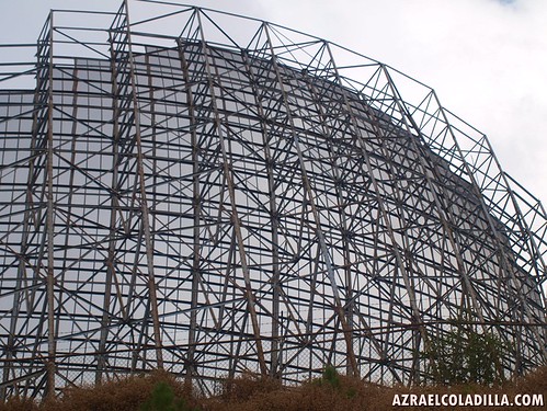
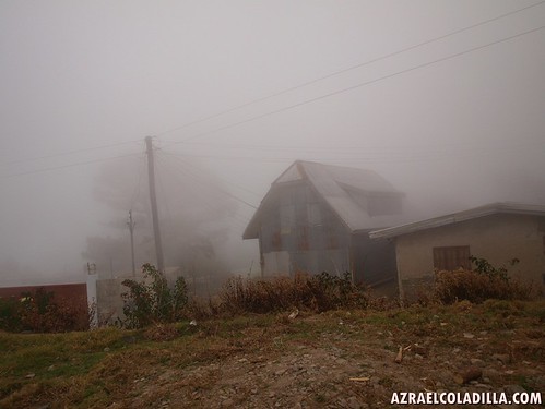
Wooden house here in Mt Cabuyao.
Here we reached the top of Mt. Cabuyao.
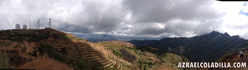
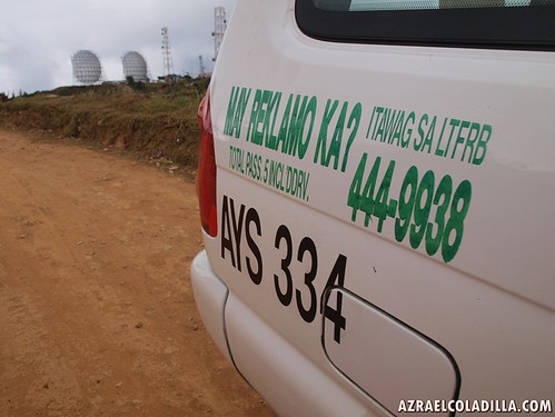
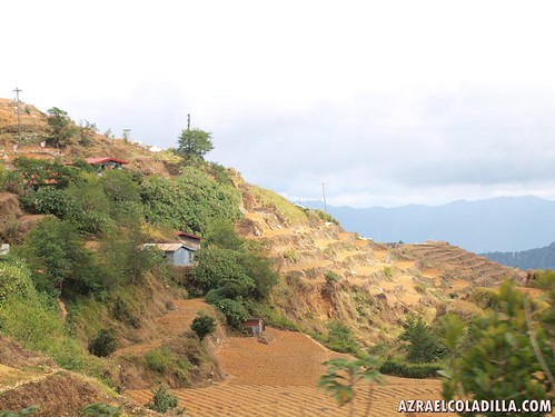
We can see the rice terraces field and the radar station
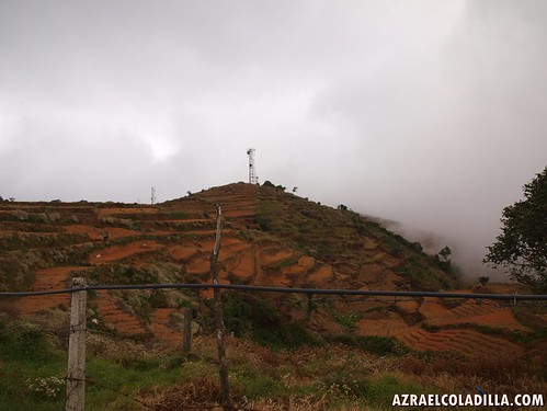
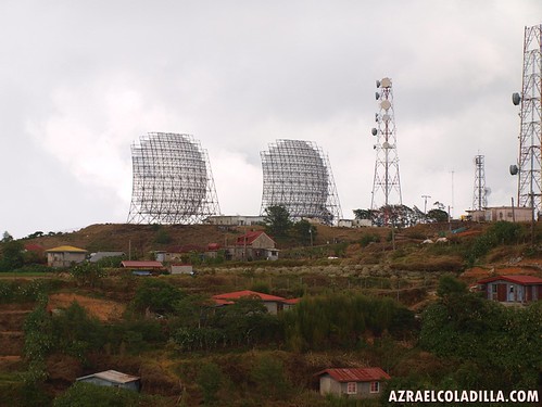
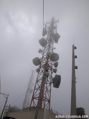
Here’s a close up look of the radar station
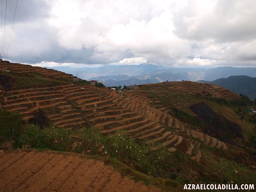
Rice terraces field
I never been to Sagada, but the view here is a bit similar to the view in Sagada.
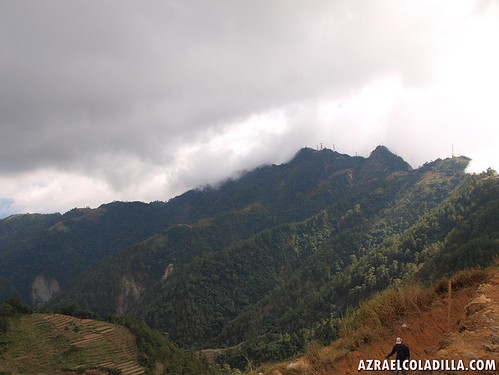
There’s Mt. Sto Tomas
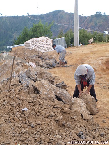
We spotted some construction workers lifting these rocks to clear it for motorist, the rehab and road repairs of the road of Mt. Cabuyao going to Mt. Sto Tomas is a project to attract more developments, tourist and residents.
Its our END OF THE ROAD
because there's an ongoing road construction going to Mt Sto Tomas and we can't proceed because they are dynamiting the road for fast excavation and construction of new road.
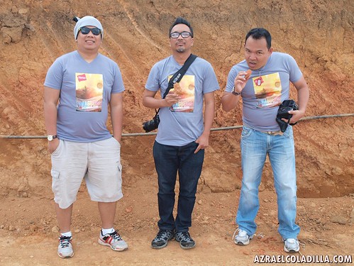
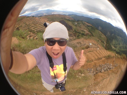
The Manila Bloggers – me, Enzo and Raffy
thanks to SM City Baguio for the Panagbenga Festival shirt printed by Hanes.
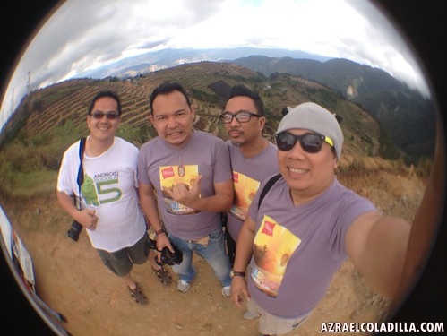
Photo with Vincent Tabor or www.lakbaybaguio.com
ITS REALLY MORE FUN IN THE PHILIPPINES!!!
It’s a different perspective to see the beauty of our mountain ranges and the life of the locals on top of the mountains.
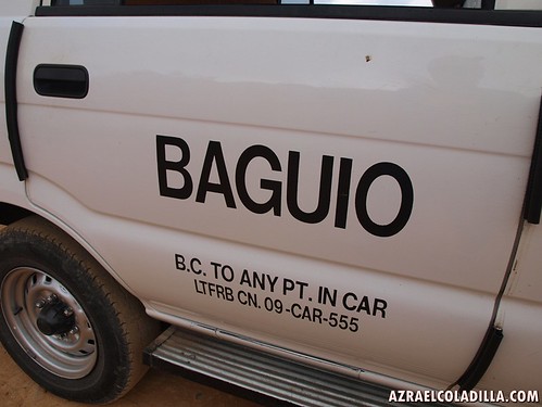
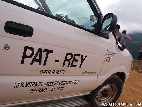
Thanks to this FX Taxi for driving us here in Mt. Cabuyao.
Here are some views at Mt Cabuyao

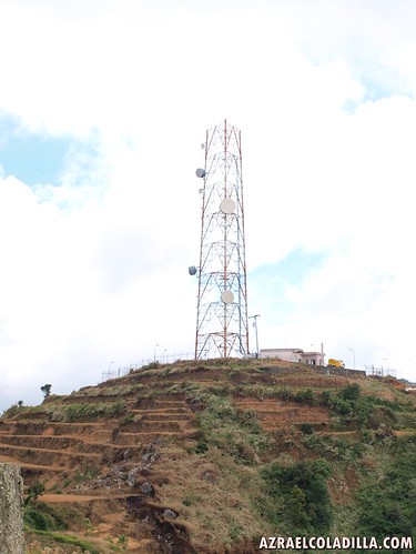
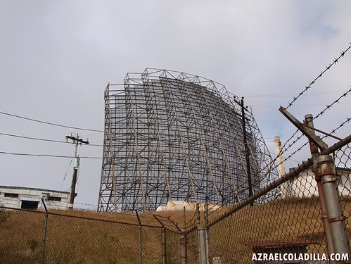
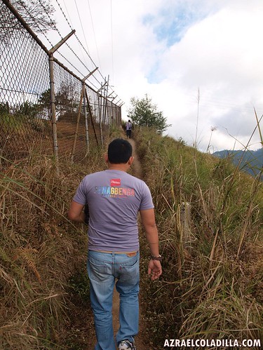
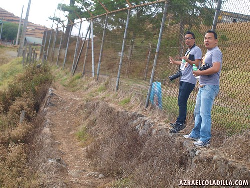
We reached the radar station and its off limits
we went to the side of the perimeter fence to visit the viewing deck and resting area for visitors.
Here’s the view that you can see when you are at the viewing deck here in Mt. Cabuyao
yes…there’s a viewing deck and picnic area…FREE to use
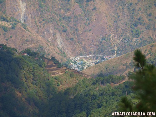
The view

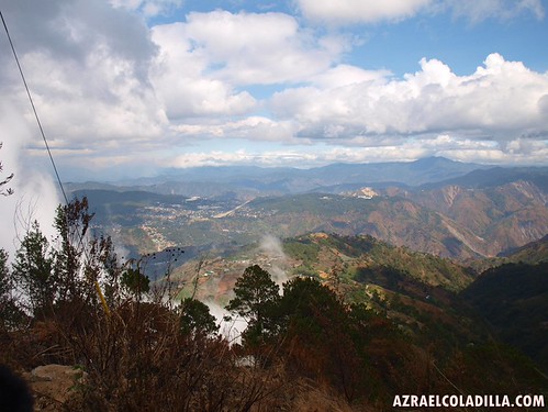
There’s Baguio City.
If you have a powerful telephoto lens, you can spot easily the SM City Baguio and the Cathedral church.
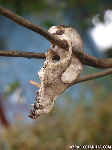
I spotted a skull of a dog.
looks like someone just finished their picnic here.
Its illegal to kill and eat dogs
but its allowed here in Benguet area…but still the practice is prohibited, but some locals still hide this practice to the modern society.

The burned wood looks fresh…
it could be hours ago when some people did their picnic here

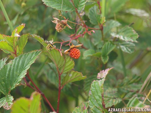

Around Mt Cabuyao
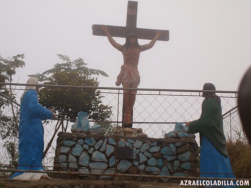
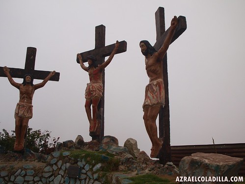
There’s also a life size statue for the stations of the cross.
This area is also crowded during the Holy Week.
Here’s the dam and catch basis in Mt. Cabuyao
this dam catches rain water and then it distribute directly to the town of Baguio.
Too bad that the view is blurry due to the thick fog.
Vincent told us that the rain water reaches our location when full during rainy season.
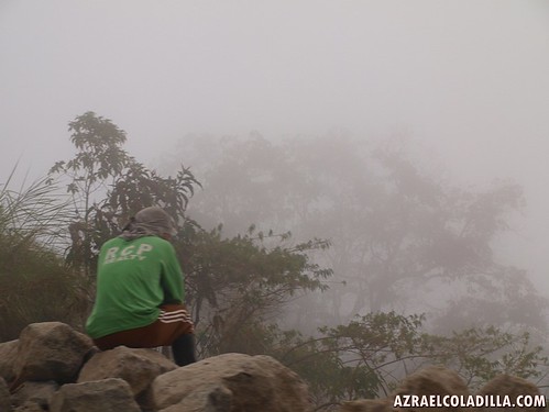
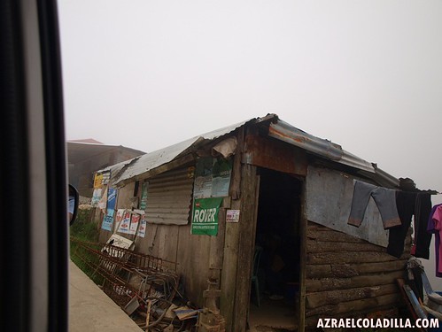
Its very weird to live here
you see the fog every day
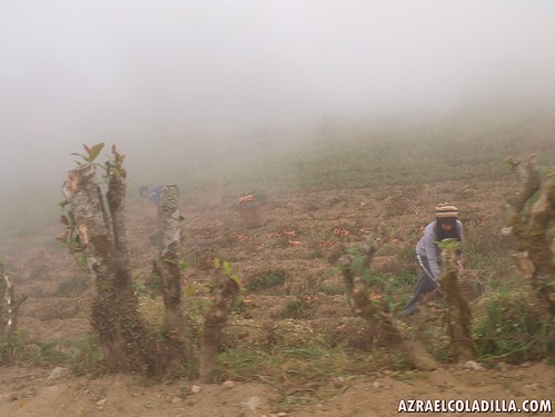
but we met lots of folks here, doing their normal lives and harvesting veggies for their consumption.
Its different life to live…but livable.
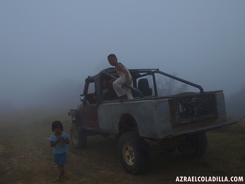
Spotted some kids playing around this truck even there’s a thick fog
check out….they don’t even wear their jackets and warmers hahahah.
astig!